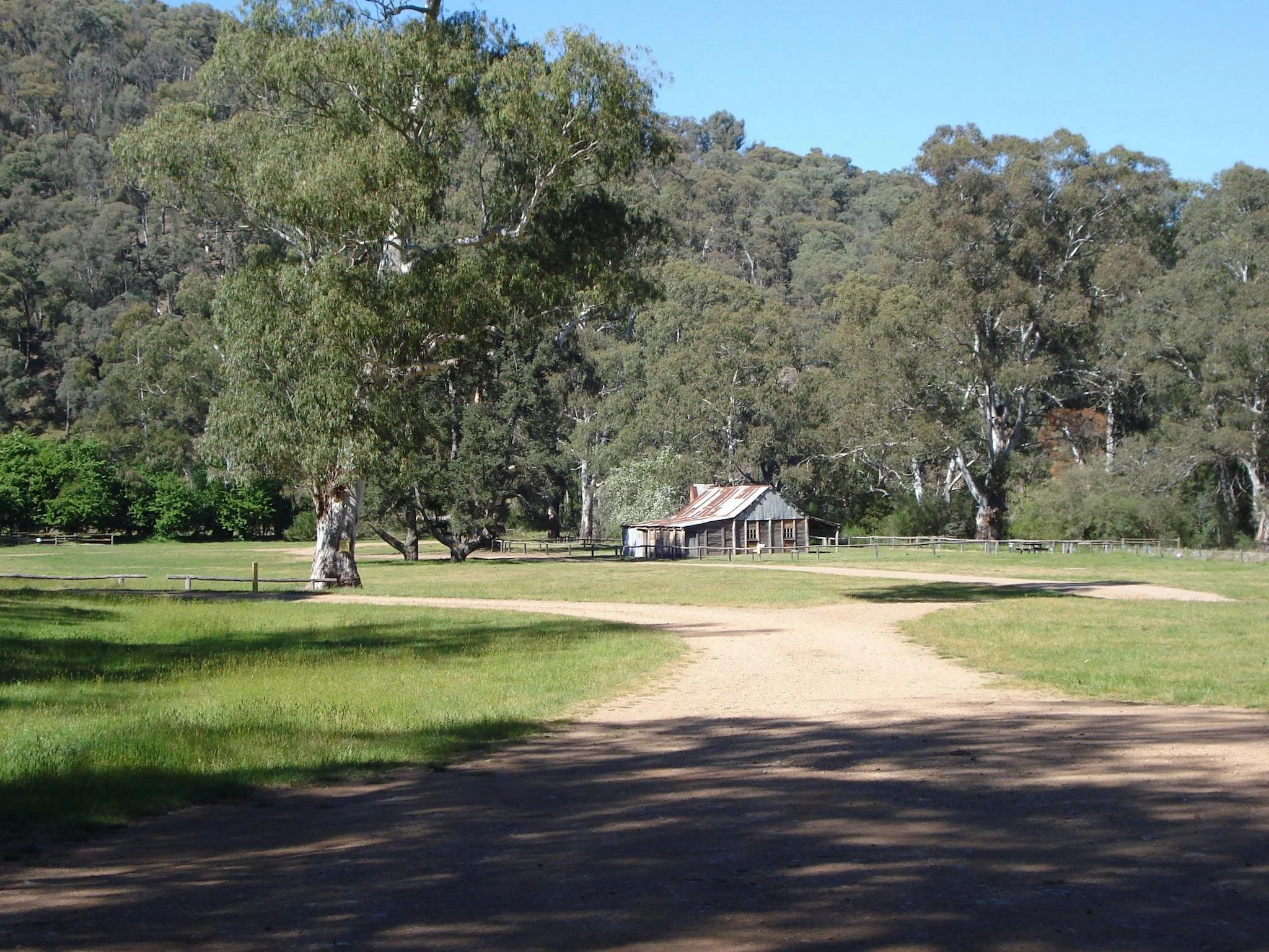
Frys Hut
Photo courtesy of John Mitchell © 1971.
Known as Frys Hut, Howqua Hills Homestead or Forests Commission Patrol Hut B236.
Located at Frys Flat beside the Howqua River, rather than at Sheepyard Flat itself.
From Mansfield, take sealed Mount Buller Road through Merrijig, then turn onto gravel Howqua Track about 3 km beyond the township. Descend to Sheepyard Flat, approximately 35 km from Mansfield, cross the bridge and follow the signed Frys Flat camping access.
The camping area is 2WD accessible in suitable conditions; park there for the short walk to the hut. Alternatively, park at Sheepyard Flat and follow the signed riverside heritage walk, approximately 4 km return. Check current road conditions after rain.
History
Grazing in Howqua Hills is associated with Dr Steele from 1868. Jim Fry worked as a carrier in the district; his nephew Fred Fry became closely associated with this hut and built others, including Ritchies, Gardners, Upper Jamieson and Schusters huts. VHCHA dates Frys Hut to about 1943–44. Fred was born in Mansfield in 1897 and died in 1971.
An earlier account records that Fred owned a 34 per cent interest in the hut, with the balance held by government; the ownership detail requires documentary confirmation.
Restorations followed in 1975 and 1988, with later preservation work involving Parks Victoria, VHCHA, four-wheel-drive clubs and volunteers.
Construction
Original plans show five rooms in a substantial drop-slab building, with a high gabled roof, skillions and verandah. Earlier descriptions record lost Malthoid lining.
Fred Fry used horses and chains to roll the long roof timbers into place, beginning with the ridge log. The projecting log ends are visible in the additional photograph credited to Gary Duncan.
Caretakers - Parks Victoria
3D imagery
VHCHA virtual tour: https://my.matterport.com/show/?m=h36kLkhMCo1
References
Parks Victoria,
Howqua Hills Historic Area and walking notes;
VHCHA, Frys Hut;
Hueneke, pp. 66 and 236;
Butler, pp. 108–110;
Stephenson, pp. 105–106.
Mapping Guidance:
GPS: 37.19600°S, 146.32972°E.
UTM Zone 55H: 440514 m E, 5883174 m N. Approximate VHCHA mapped position, treated as WGS84.