
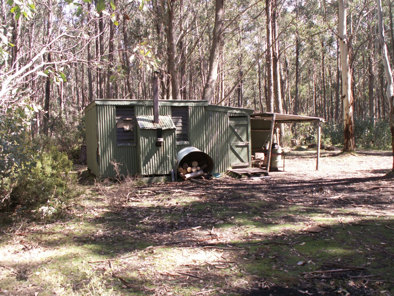
S16 Hut
Photograph courtesy of Bill Statton Copyright ©2006
Known as Deerhunters Hut and S16 Hut
Located off the S16 Track. Find it being "S16", 100 m off track S16, 1.2 km off South Rd, in the Mt Useful area. GPS marks 55 455150E 5831600N using WGS
History
Built in the 1970s as a deer hunters’ shelter. Internal wall posters suggest it is well used by them.
Construction
Corrugated iron over a sawn timber frame with skillion roof.
Caretakers
References
Bill Statton - pers comm 2006.
Approximate GPS Position -
Profile last updated 22 October 2006.
.