
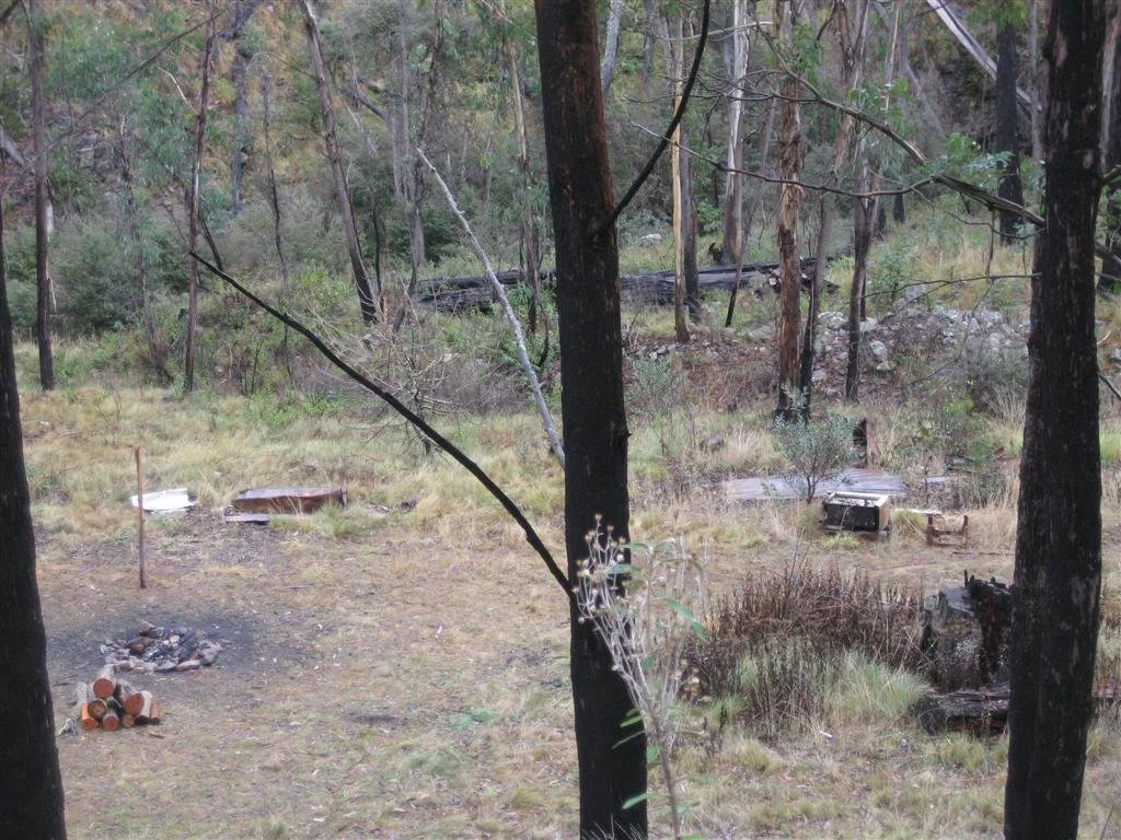
East Caledonia Hut (Avins Hut site)
Photograph courtesy of Steve Schemzle
Known as East Caledonia Hut or Avins Hut. Now a site only since 2000.
Located off East Caledonia River Track in the Snowy Range.
From Licola follow Tamboritha Road to Arbuckle Junction (about 46 km), then turn left onto Howitt Road towards Snowy Plains and the East Caledonia River Track turn-off. The first approximately 22 km from Licola is sealed; the high-country roads are gravel. The existing account places the site about 4.5 km down the East Caledonia track from the old Bennison Plains Road. Treat that final section as 4WD country, subject to seasonal gates; its present vehicle access, parking point and walking distance need confirmation.
History
Originally used by logging workers. Parks Victoria’s Hut Maintenance Manual (2022) records East Caledonia River as a former hut site, burnt down around 2000, with no reconstruction proposed. Its construction date and fuller logging history need research.
Construction
The former hut had vertically jointed timber boards, an iron roof and a steel chimney.
References
VHCHA, East Caledonia River Hut and map dataset;
Parks Victoria, Hut Maintenance Manual (2022), former-hut sites schedule.
Mapping Guidance:
GPS: approximately 37.32019°S, 146.74750°E.
UTM Zone 55H: 477628 m E, 5869577 m N, from VHCHA’s grid reference, provisionally interpreted as WGS84 UTM. VHCHA’s separate latitude/longitude pin conflicts with its grid reference and has not been used. Exact site and datum require confirmation.