
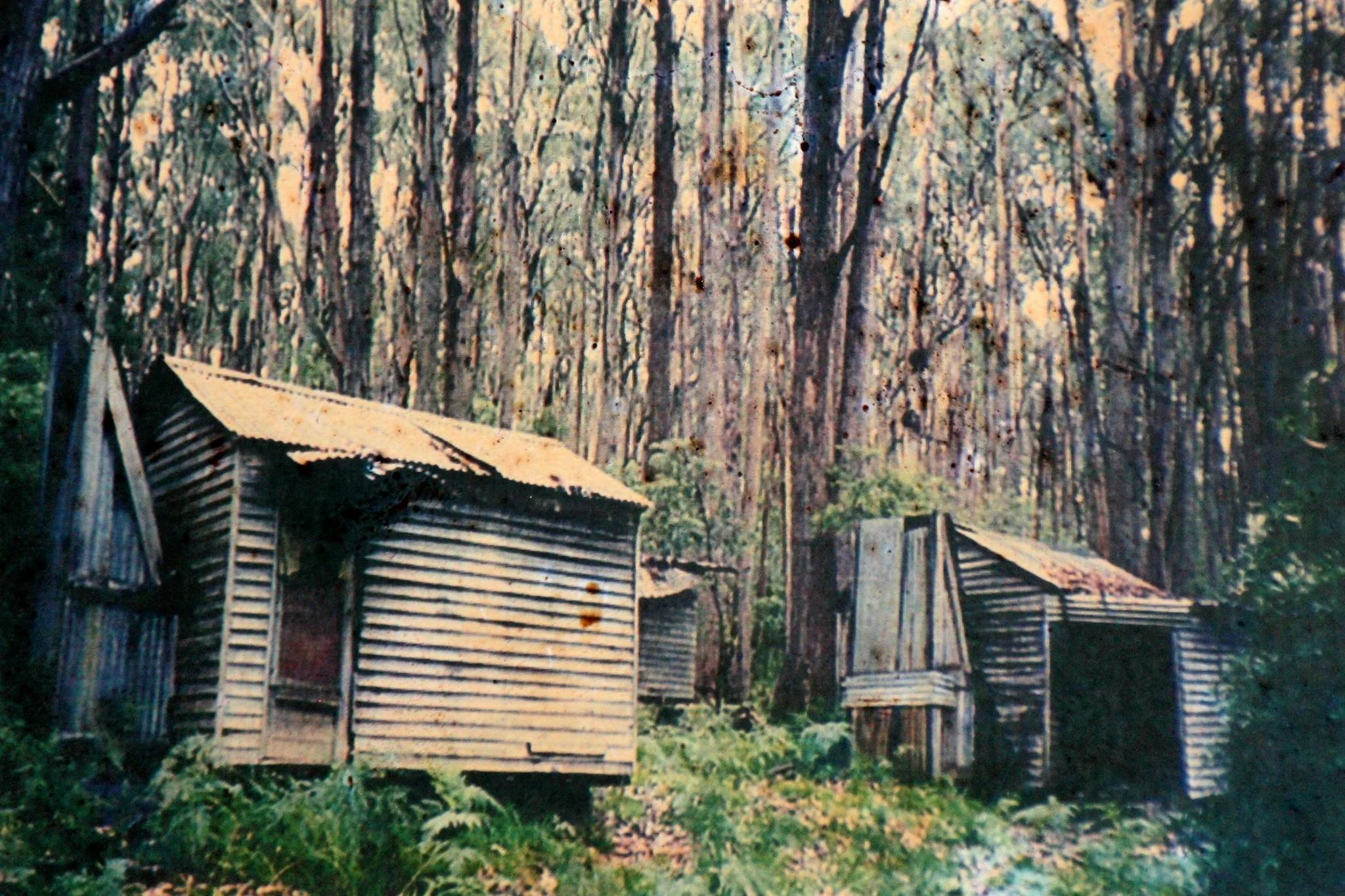
Dunstan Logging Huts
Known as: Dunstan Huts or Dunstan Logging Huts - Site.
Located at Dunstans Logging Road in the Mount Pinnibar/Nariel Valley forests.
These logging-camp sites are distinct from Dunstans CRB Hut on the Omeo Highway near Mount Wills, despite the combined page-list title. Victorian parliamentary records locate five logging huts on Dunstans Logging Road, about 0.5 km east of Upper Papes Track.
From Corryong approach via the Benambra–Corryong Road into the Nariel Valley, then the signed Dunstans Logging Road forest-road network. Treat the forest approach as 4WD and confirm current road names, gates and closures with DEECA.
The earlier account records the logging huts as burnt in 2003; this is a historic camp site, not confirmed shelter.
History
Built to support forestry workers in the area. Burnt down in 2003. Some of the huts were moved from here to the Gibsons Hut site.
Construction
Timber with iron roofs.
References
None recorded.
Mapping Guidance;
Approximate logging-camp GPS: 36.50194°S, 147.91914°E.
UTM Zone 55H: 582313 m E, 5959984 m N (WGS84). Calculated from the former Dart Gibbo grid GR822598 assuming AMG/AGD66 Zone 55.
Exact camp position and datum need confirmation. Do not substitute the separate Mount Wills Dunstans CRB map pin.