The Scout Hut
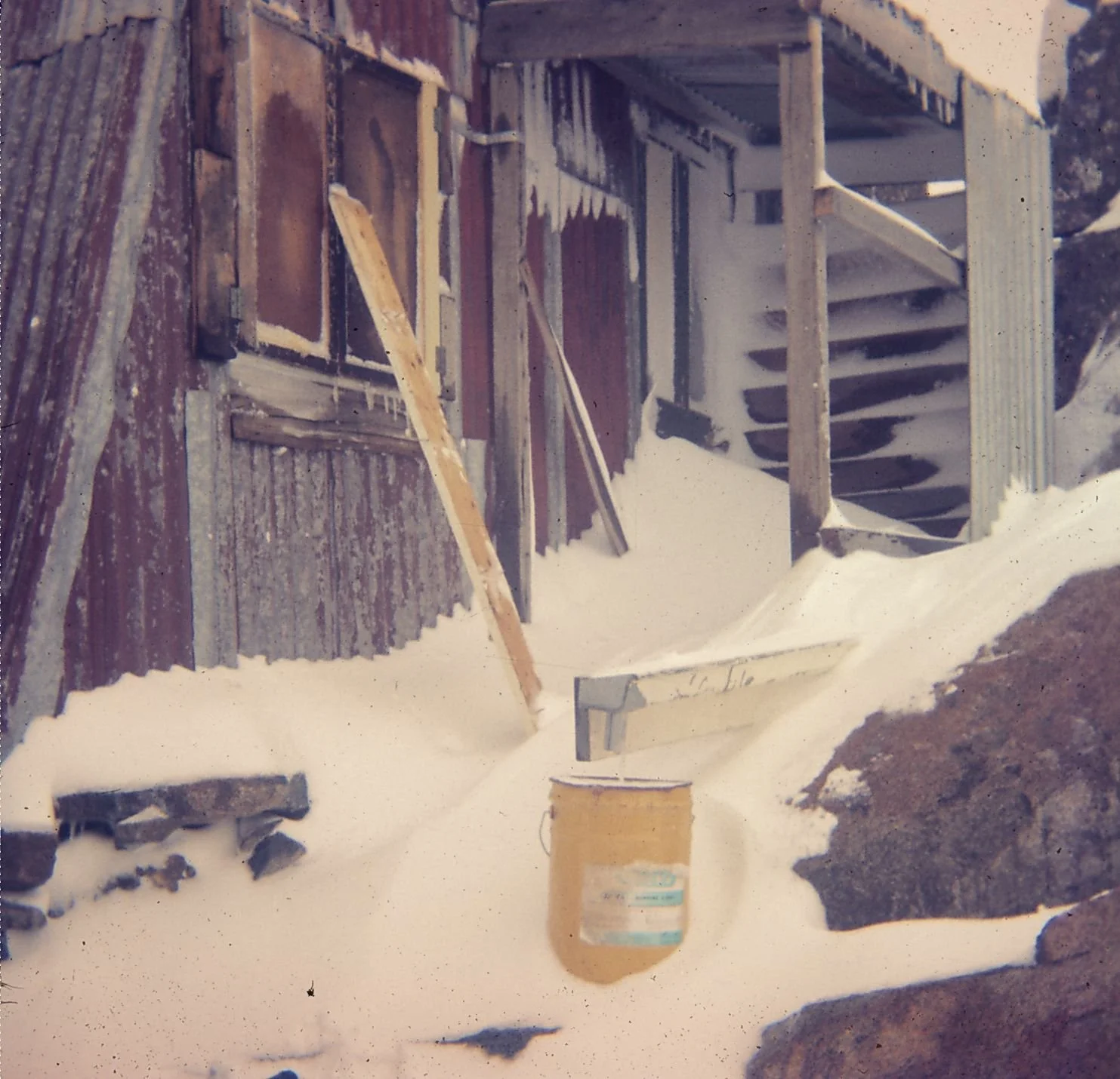
Photograph of the hut snowed, by Olaf Moon © 1973.
Known as Scout hut or Moon's Hut and Friends' School Hut. It has never been called the Mount Arthur Hut or Abrahams.
Located about 400m west of the "big bend" on the Mt Wellington summit road, Hobart.
GPS Location: S 42.883526 E 147.217608 - Very clearly visible on Google Maps “terrain” and shown on a number of official maps.
History
The Scout hut was built in a very hidden position on Mount Wellington in 1969, and approved "unofficially" by the bailiff in 1971, without a lease. The bailiff, Mr. Robert Stean, put the lease application into the pending tray, where it sat until he passed away in 2001. The hut is now inside the Wellington State Park boundary but was previously on public land.
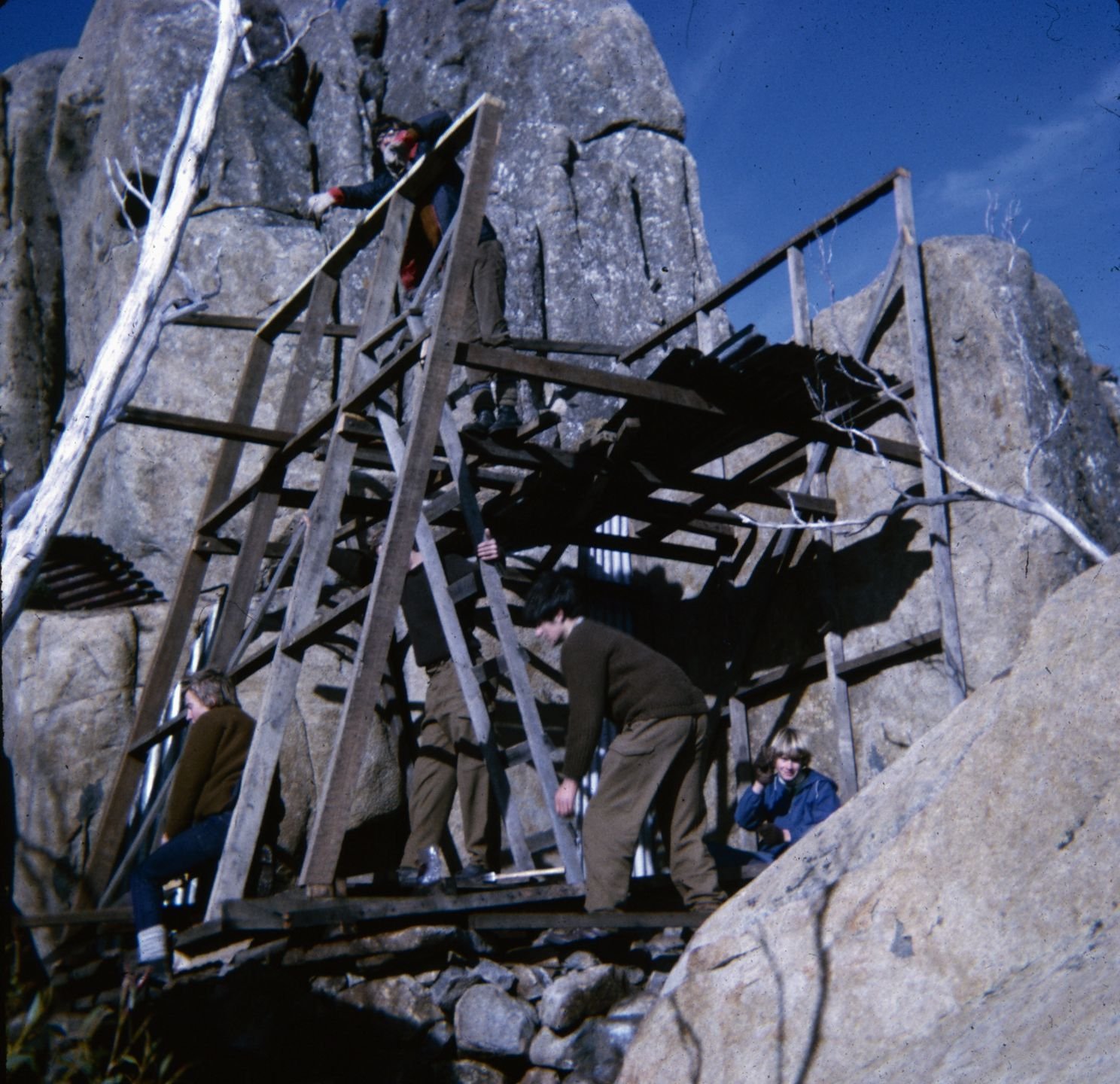
The original building was designed as a two story skiing hut, and built by six teenagers from the 8th Hobart Scout troop (at The Friends' School), Olaf Moon, Phillip Prebble, Robert Cripps, Greg Hughes, Stephen Mee and Guy Clift who completed it to the shutters in summer 1971.
The hut is also known by other names and was formally listed by the Hobart City Council in its heritage register of buildings on Mt Wellington, in 2001, with the agreement of the original designer, Olaf Moon.
The photo above, was taken in January 2003, showing the need for minor restoration of the windows and some iron. The main window was replaced with transparent corrugated material on 18 Jan 2003, and a latch fitted to the door.
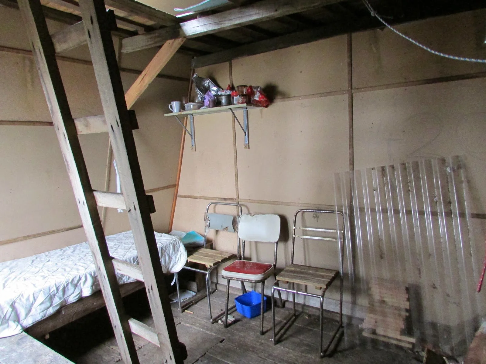
In 2021, the hut received considerable updates, including the replacement of the interior lining with Masonite, so that the authorities could no longer claim, erroneously, that it contained asbestos. A photo of the interior is shown below. Unfortunately, someone took regular residence, which upset the authorities. They constructed a large water container and piping to the inside of the hut and an external shower. ( There had previously been a water tank in the 1980’s). They also added an external toilet the “loo with a view” down in front of the hut. All of this resulted in the hut being closed up tightly with metal panels and tech-bolts by the Wellington Park ranger. Graffiti was added and now a plan needs to be made on the next step to return it to heritage status as a shelter hut only.
A substantial footpad now runs to the hut from the Collins Bonnet fire trail, in a position that is different from the original access. Commence at the Mt Wellington Road, "big bend". The photo below was taken in August 1971.
Construction
The hut was built on substantial stone footings to stop damp and rot. At the corner, they stand about 1.5m high and required the manhandling of over 1.5 tonnes of stone by the boys.
The floor is tongue and groove boards, with a trap door. The walls and roof are corrugated iron, with an inset of corrugated fibreglass. The materials came from a Federation home being demolished in West Hobart and owned by one of the boys’ parents.
The hut frames were pre-manufactured on-site and raised as complete units, to create the unusual two story construction. One was bolted to the stone wall, with the hole being drilled over a full day using a hand-held star drill and hammer. The floor joists for the second story, now have braces to maintain the strength that is required for it to be safe when used.
Originally a magnificent iron stove was installed, but this was smashed by vandals and replaced with a small fireplace and flue. The second version a pot-belly stove rotted from rainwater coming down the flue. A replacement is needed.
References
Hobart City Council Files - 2000.
Olaf Moon - original slides of the hut construction and plans.
Mt Wellington Park Ranger.