
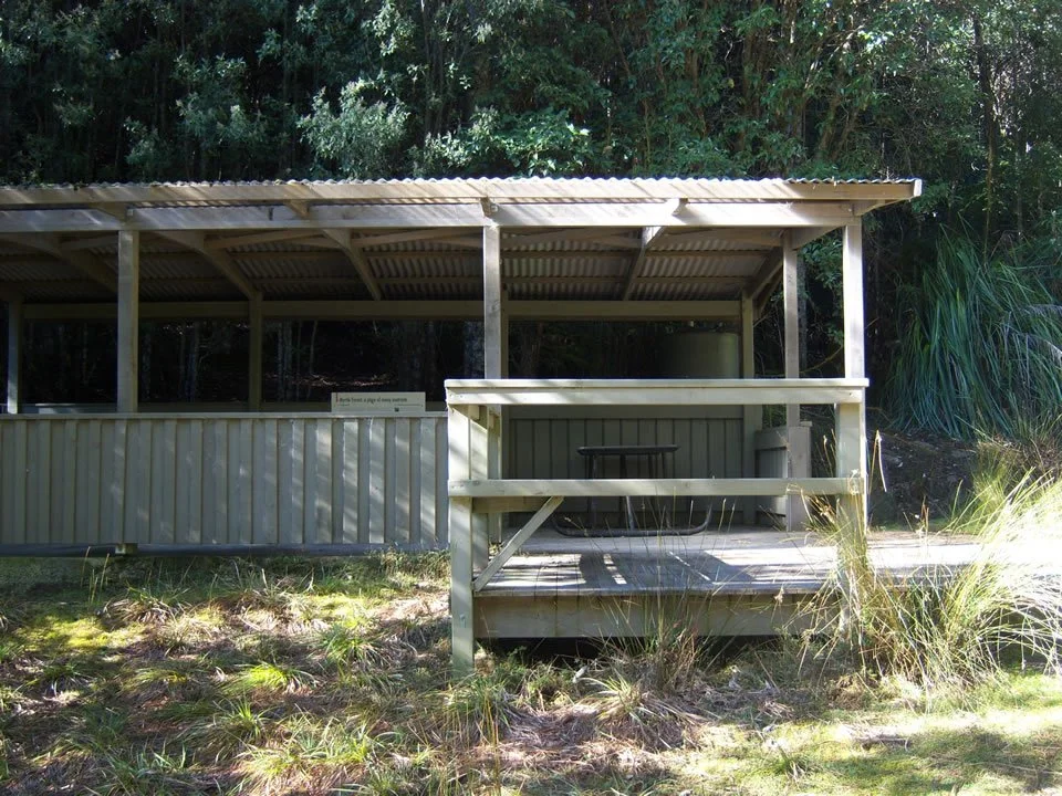
Myrtle Forest Shelter
Known as Collins Cap Hut or Myrtle Forest Shelter.
Location at the start of the track to Myrtle Falls. Recently, the road has been closed about 650m from the hut. This hut is just inside the northern boundary of the Mt Wellington Park.
History
Built as a picnic hut for visitors and maintained jointly by the Glenorchy Council and Mt Wellington Park Trust. To avoid ongoing abuse to the hut which was a problem in the last, the road has been closed further from the hut. Car access can be requested if you wish to run an event here!
“If you have any questions, feedback or updates regarding this track please contact the track manager at the Glenorchy City Council by phone on 03 6216 6800 or by email to gccmail@gcc.tas.gov.au”.
GPS: S 42.861448 E 147.157871